|
by Alexei Vranich
from
Archeology Website
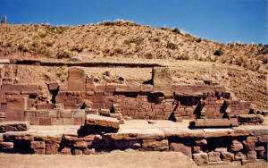
The 59-foot-tall Akapana resembles a
large natural hill more than a pyramid. Closer inspection shows
walls and columns sticking out from the base and carved stones on
its summit and tumbling down the sides. The somewhat amorphous shape
of this tremendous pyramid is the result of centuries of looting and
quarrying of its stones for colonial churches and even for a railway
built in the 1900s. New research shows that this pyramid was never
quite finished in antiquity. The previous monuments of the city were torn down and their stones reused to build the Akapana pyramid. The effort was too great, and the pyramid lay unfinished when the city was abandoned. One Spanish chronicler said of Tiwanaku,
Around the rising pyramid, the arrangement of small single homes was
replaced by large square compounds--also using the scavenged remains
of previous monuments--serving perhaps as ritual places for powerful
families or ethnic groups. What this change represents is unknown at
the present. We could be seeing the rise of a powerful king, a
popular religious movement, or the formation of a multicultural
city. Whatever the cause behind this massive transformation, it
didn't last long. By A.D. 950 all monumental construction suddenly
ends with stones in various stages of dressing scattered around the
partially built monuments.
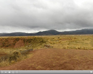
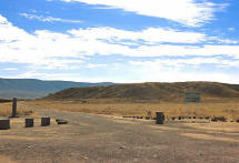
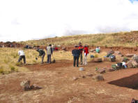
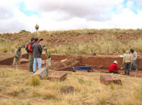
We plan to survey the area around the pyramid to a depth of several meters and excavate based on the subsurface images generated by the equipment (recently donated by the government of Japan). Using a variety of computer programs, we'll be constructing a three-dimensional model of the city both above and below ground (see map for areas of investigation). Click above image ...and place mouse on top of video pulling sideways for a 360° view of the Akapana pyramid area
Update by
Kimberly Henderson
The goal of
this project is to determine, with minimal excavation, the spatial
distribution and organization of the architecture that is thought to
surround the Akapana pyramid.
We are currently processing the preliminary data from these surveys as carefully as possible so that the actual depth of the subsurface architecture can be calculated. The plan, at this point, is to determine the actual velocity of the radar signal through the soil, convert that value to depth and then decide when and where to use what type of antenna.
Once this has been done, we will proceed with
several 40x40 meter survey grids that will cover an area of about
100,000 square meters.
|
||||

